Westwell | ||
|---|---|---|
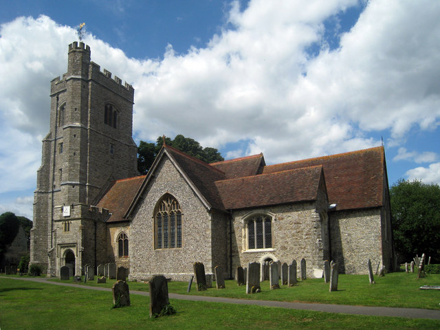
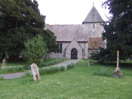
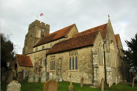
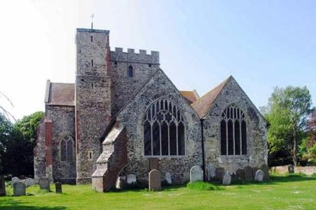
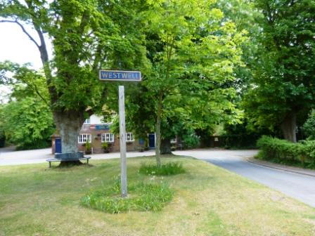
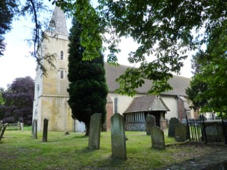
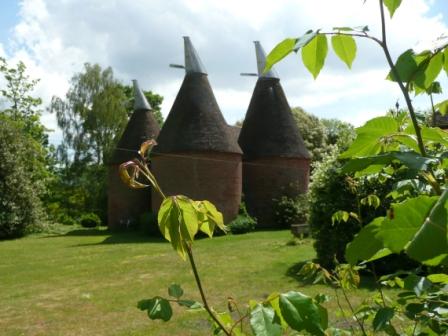
| Westwell Village | St Mary Westwell | Oasthouses, Westwell |
 |
 |
 |
| Westwell May 2011 | ||
|
Westwell is a small and very pretty rural village about 4 miles north of Ashford. It is in a beautiful area of the North Downs. The Pilgrims′ Way runs close by.
The village has been in existence since Saxon times and is included in the Domesday book as Welle owned by the Archbishop of Canterbury′s monks. A weekly market has been held there since the time of Edward 1. The Parish church is St Mary′s Church and Parish registers begin in 1558. Westwell is in the West Ashford registration district. | ||